Operations
Spatial operations
For spatial operations we use the native Julia package GeometryOps.jl, which is imported automatically. It has operations such as GeometryOps.intersects, GeometryOps.contains, GeometryOps.within, GeometryOps.union, GeometryOps.intersection, and other tools such as GeometryOps.simplify and GeometryOps.reproject. One can apply these operations directly on the geometry column of a GeoDataFrame.
GeometryOps.intersects.(df.geometry, df.geometry[1]);
10-element BitVector:
 1  # self-intersection
 0
 0
 0
 0
 0
 0
 0
 0
 0
To get the pre v0.4 behaviour for ArchGDAL geometries and operations, you can use the GeoInterface operation (also imported automatically), which uses the (Arch)GDAL operations under the hood. You need to read the file with read(GeoDataFrames.ArchGDALDriver(), fn; kwargs), or convert the geometry as described below in Conversion. Note that this will not work for files loaded from GeoJSON, GeoParquet, or FlatGeobuf, as they are not supported by ArchGDAL.
df.geometry = GeoInterface.buffer.(df.geometry, 10)  # points turn into polygons
10×2 DataFrame
 Row │ geometry              name
     │ IGeometr…             String
─────┼──────────────────────────────
   1 │ Geometry: wkbPolygon  test
   2 │ Geometry: wkbPolygon  test
   3 │ Geometry: wkbPolygon  test
   4 │ Geometry: wkbPolygon  test
   5 │ Geometry: wkbPolygon  test
   6 │ Geometry: wkbPolygon  test
   7 │ Geometry: wkbPolygon  test
   8 │ Geometry: wkbPolygon  test
   9 │ Geometry: wkbPolygon  test
  10 │ Geometry: wkbPolygon  test
Metadata
You can get and set the coordinate reference system (CRS) and geometry column of a GeoDataFrame using the utility functions GeoInterface.crs, setcrs!, GeoInterface.geometrycolumns, and setgeometrycolumn!.
table = DataFrame(geom=GeoInterface.Point(4, 52), name="home")
GeoDataFrames.setgeometrycolumn!(table, :geom)  # set geometry column
GeoDataFrames.setcrs!(table, EPSG(4326))  # set coordinate reference system
GeoDataFrames.write("home.gpkg", table)
If your table doesn't include metadata, or you want to override it, most drivers accept the crs and geometrycolumn keyword arguments in the write function.
Conversion
You can convert between GeoInterface and ArchGDAL geometries using GeoInterface.convert:
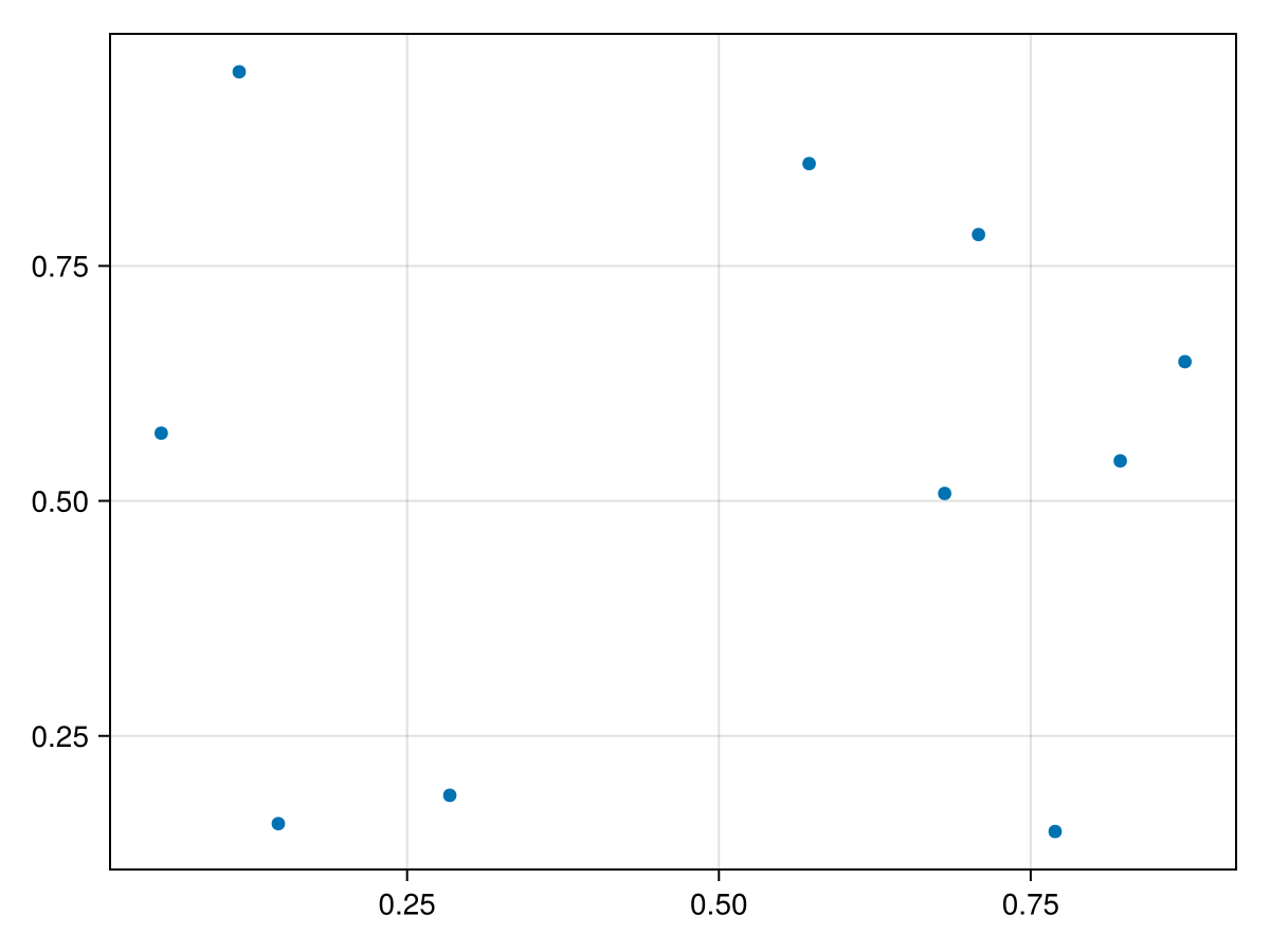
table = DataFrame(; geometry = GeoInterface.Point.(rand(10), rand(10)), name = "test")

using ArchGDAL
table.geometry = GeoInterface.convert.(Ref(ArchGDAL), table.geometry)
Reprojection
Reproject uses GeometryOps, except for ArchGDAL geometries, to reproject geometries. We use GeoFormatTypes.jl to specify the coordinate reference system (CRS) of the geometries. The CRS can be specified in several ways, including EPSG codes (GeoFormatTypes.EPSG), PROJ strings (GeoFormatTypes.ProjString), and WKT strings (GeoFormatTypes.WellKnownText). Note that we always assume coordinates to be in (x,y) order, so (longitude,latitude) for geographic CRS. You can override this by setting always_xy=false in reproject.
dfr = GeometryOps.reproject(df, EPSG(4326), EPSG(28992))
10×2 DataFrame
 Row │ geometry                  name
     │ Tuple…                    String
─────┼──────────────────────────────────
   1 │ (-5.85314e5, -5.70947e6)  test
   2 │ (-4.93872e5, -5.63219e6)  test
   3 │ (-4.90248e5, -5.60829e6)  test
   4 │ (-5.83703e5, -5.65952e6)  test
   5 │ (-5.64684e5, -5.67049e6)  test
   6 │ (-5.23958e5, -5.6656e6)   test
   7 │ (-5.10669e5, -5.69072e6)  test
   8 │ (-5.44627e5, -5.71647e6)  test
   9 │ (-4.53527e5, -5.72909e6)  test
  10 │ (-458280.0, -5.72039e6)   test
Note that by using GeometryOps, point geometries are reprojected to a tuple of coordinates, which is treated as a valid Point geometry.
Plotting
Plotting will work out of the box with Plots and Makie.
Plots.jl
using Plots
plot(df.geometry)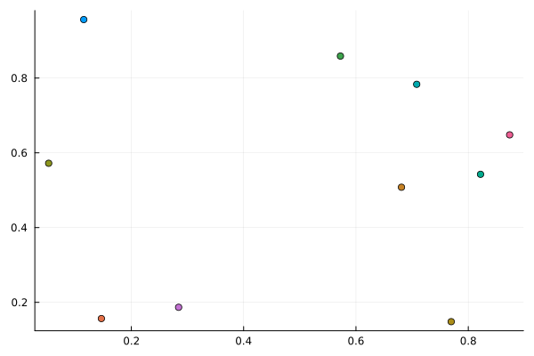
Makie
using CairoMakie
plot(df.geometry)